
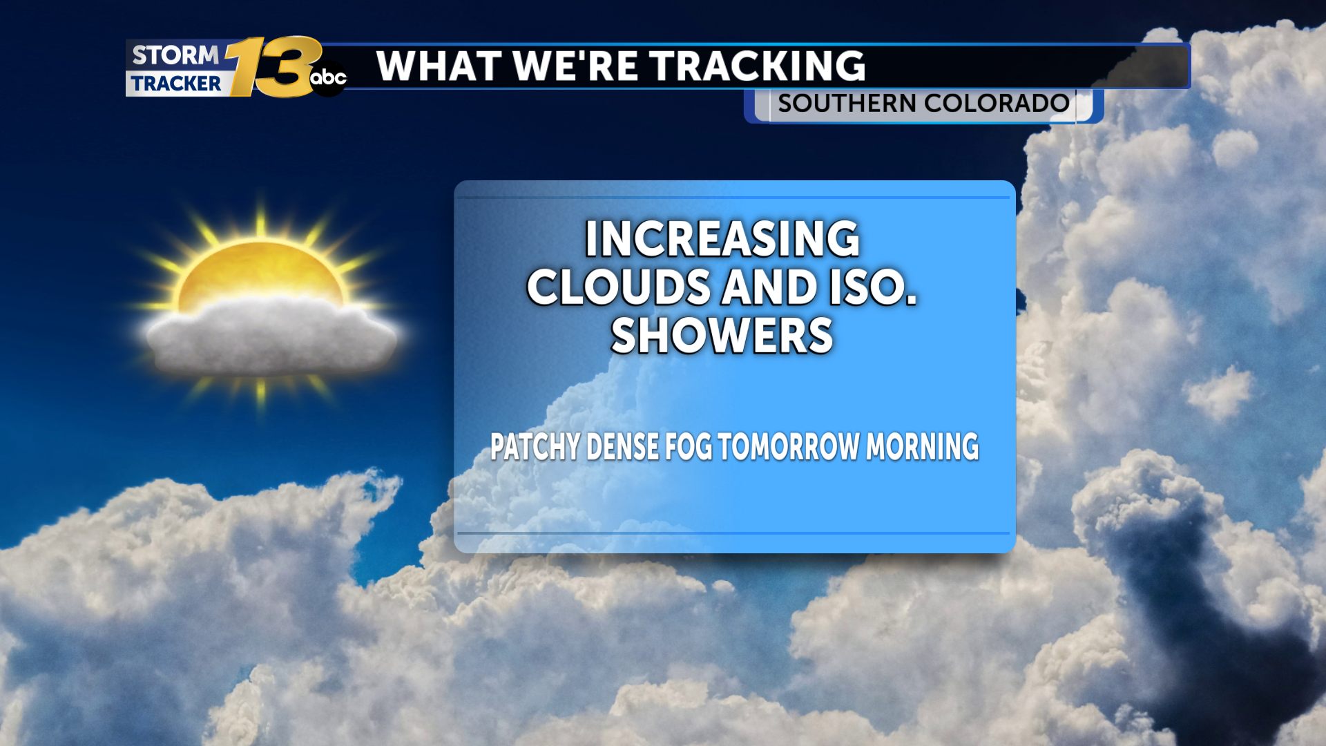
We are between systems this afternoon, as a quick-moving upper-level low brings rain chances to our far southeastern areas, while rain and snow chances pick up across the mountains from an upper low developing across the west. Isolated rain and higher-elevation snow will persist in the mountains overnight, while cloudiness increases across the area. Dense fog will again be possible for Halloween morning, with most waking up to temperatures in the 40s.
Halloween will start cloudy and foggy for many, although breaks in the clouds and some sunshine will be possible by the afternoon. Isolated showers may form during the afternoon hours, but rain chances should be limited, and most will stay dry during trick-or-treating. Daytime highs will push into the upper 60s, and a few neighborhoods could reach 70°.
Moisture from a potent atmospheric river will begin to move across the Southwest beginning Sunday. Heavy rain and snow will be possible across the mountains by Sunday and through Monday. A few isolated showers will again be possible on Sunday across I-25 and the eastern Plains as daytime highs climb back above seasonal averages. Rain chances transition across I-25 and the eastern Plains on Monday as a cold front arrives. Winds will pick up, and rain could be heavy at times while snow elevations drop to 9000'. We begin to dry out on Tuesday with mostly dry conditions and seasonal temperatures through the rest of the week.
Stay up to date with the latest local news, sports, and investigations by downloading the KRDO13 app. Click here to download it from the Apple App Store. Android users can download it from Google Play here.
The post Increasing cloudiness as precipitation chances ramp up in the mountains appeared first on KRDO.


